The success story of NUtons in Mapathon Event
The very mission of NU is to deliver distinctive education through the pioneering use of technology. Proof lies in the results of Mapathon 2020 which was held digitally from December 14-31st, 2020.
Mapathon is a map-making competition for a specific problem statement. This event, organized jointly by IIT Bombay, AICTE, and ISRO, invited all Indians to produce maps using Indian remote sensing data. The primary objective is to understand the potential of Indian remote sensing data and make maps for Indian regions using free open source mapping software (QGIS). The participants collectively work in a crowdsourcing method for jointly producing thematic maps of India using Indian remote sensing data. The data collected from Indian Space Research Organisation (ISRO) platforms have tremendous potential in mapping India’s resources, agriculture, climate and disaster management, rural and urban planning, and in identifying pathways for future development. Such maps can be created using free open-source platforms (such as QGIS).


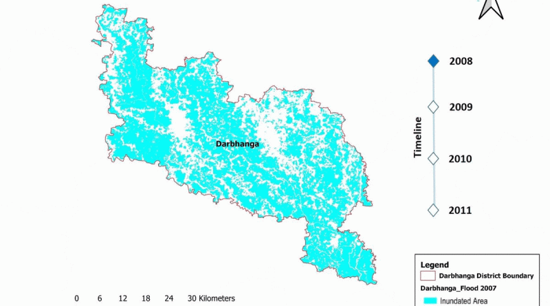
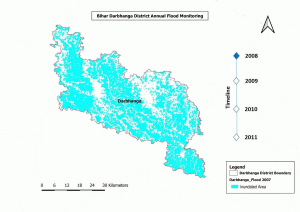
The team of Mr. Venkatesh Pithani, Ph.D. GIS as lead and Mr. Siddharth Swain, Ph.D. GIS took the data for ‘Bihar Darbhanga District Annual Flood Monitoring’ with a timeline lasting for 4 years and were declared as winners for their innovative gradient use to show the Inundated Area. Another team of Mr. Prasad Balasaheb Wale,Ph.D. GIS as lead and Mr. Soumik Chakraborty, M.Tech. GIS tackled the topic of ‘Land Use Land Cover’ to cover a wide range of land-use patterns of Ahmednagar district, Maharashtra. This team was under the banner of notable participants. The results came out in March, the third week and the NUtons held their head high as they extended the dimension of learning for upcoming batches and impart an experience that is valuable forever.